30 Surveyed Alaska Locations: Engineering 25K Topographic & Bathymetric Shells
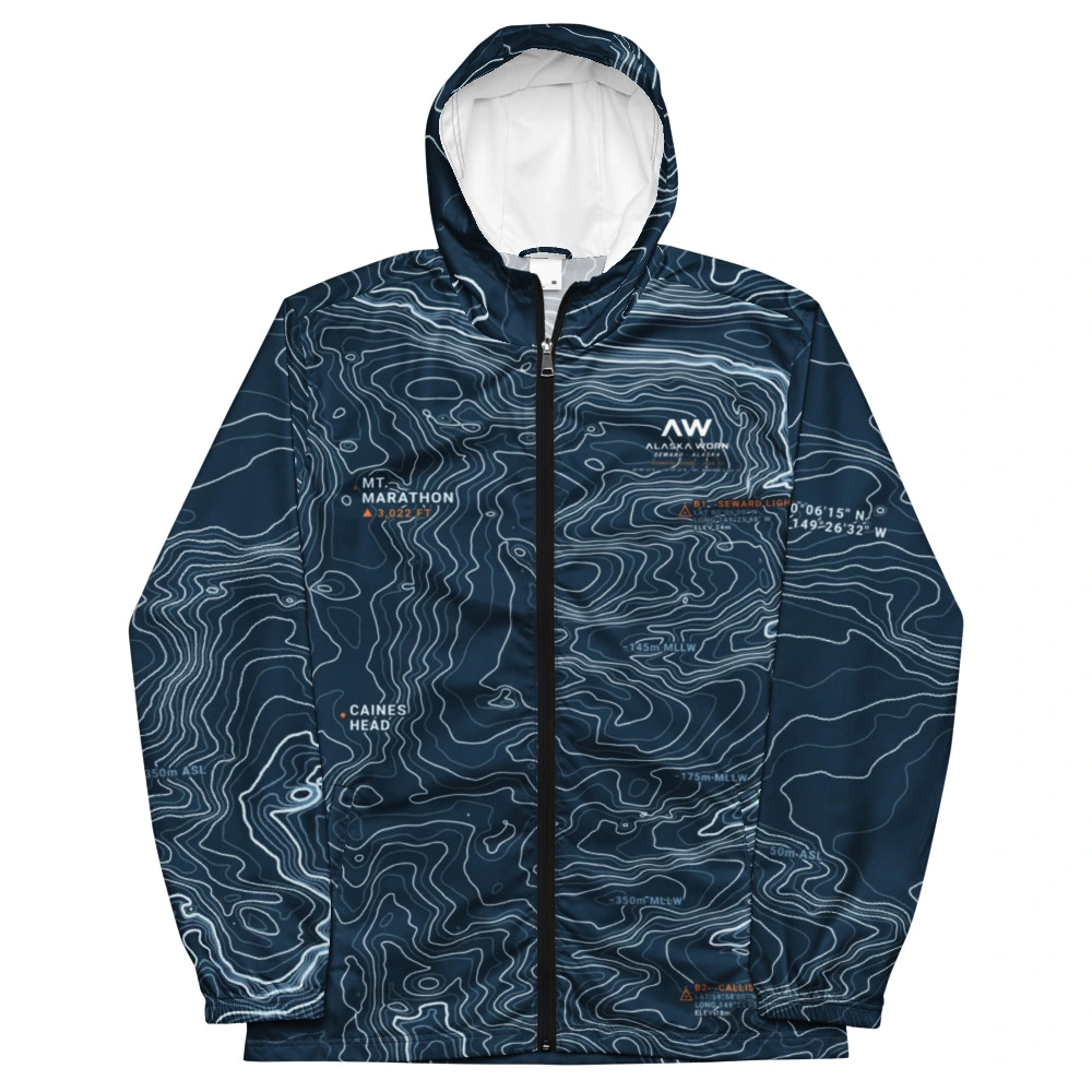
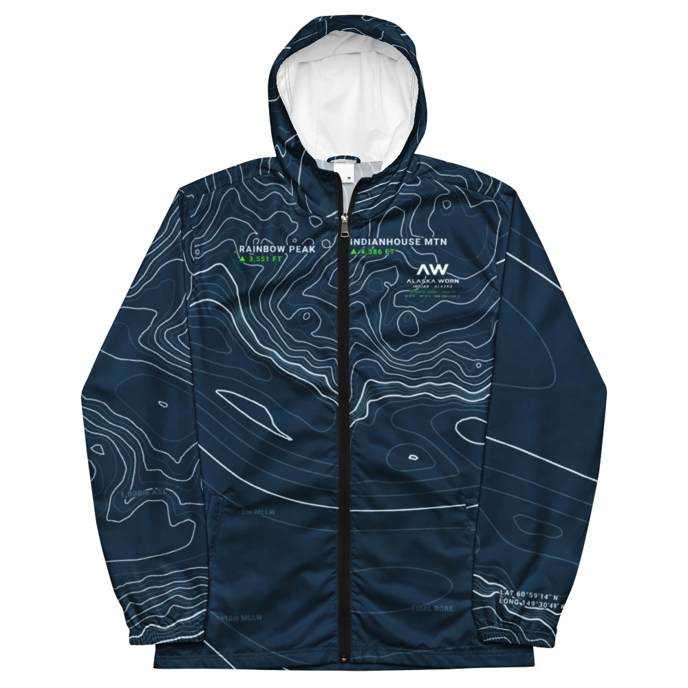
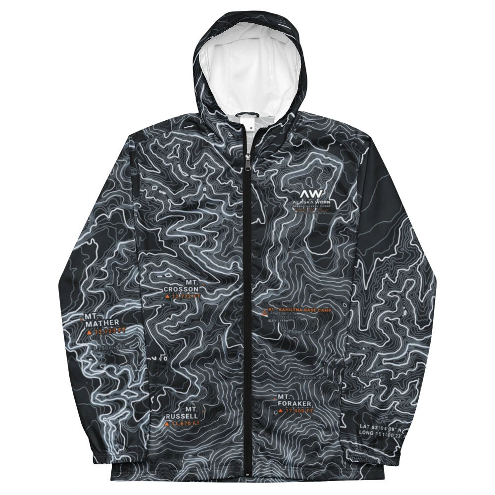
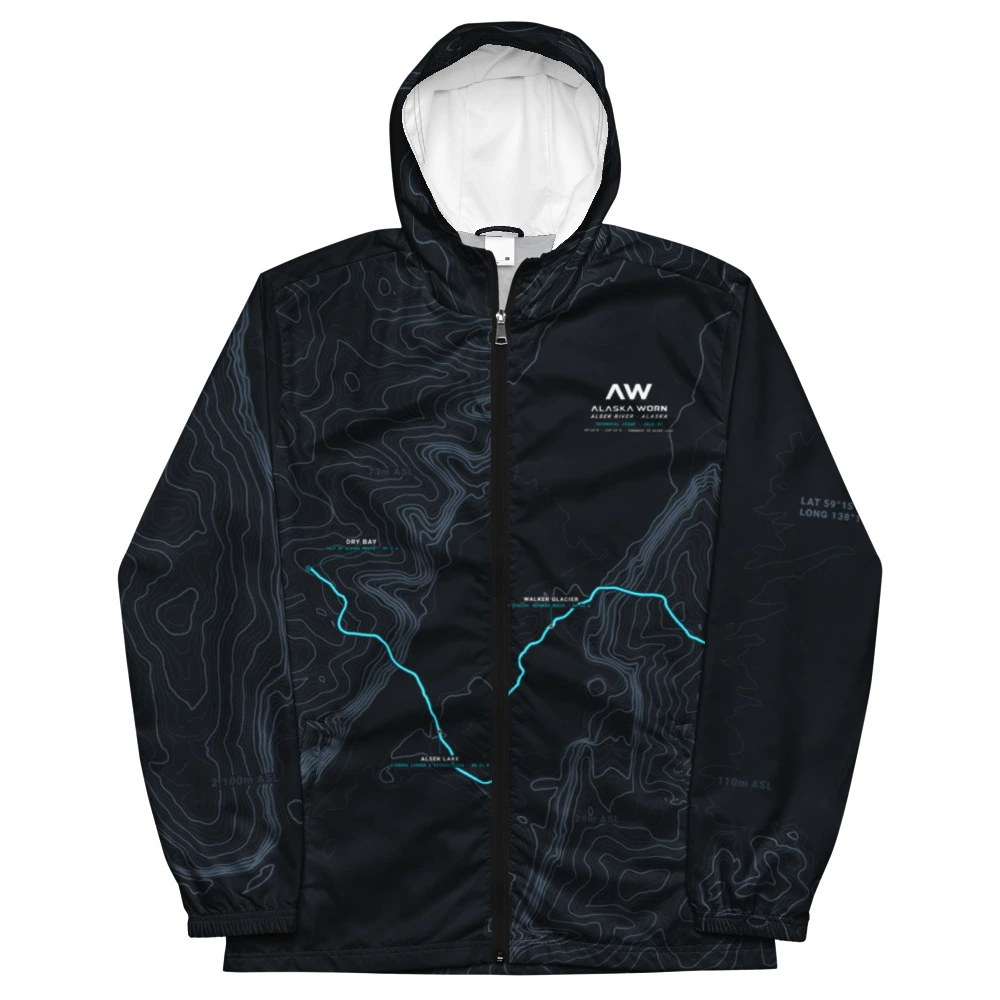
How we build all-over sublimated technical windbreakers across 9 Coastal Cities, 11 Mountain Ranges, and 10 Wild Rivers from authentic USGS 3DEP elevation data and source-verified NOAA bathymetry, where applicable.
Every jacket in the Alaska Worn catalog begins as raw elevation and bathymetric telemetry: USGS 3DEP digital elevation models, National Hydrography Dataset (NHD) river corridors, and NOAA NCEI Bathymetry sonar soundings.
Across 30 surveyed Alaska quads — 9 Coastal Cities (Seward, Homer, Kodiak, Valdez, Sitka, Anchorage, Indian, Girdwood, Kenai), 11 Mountain Ranges (Denali, Wrangell Mountains, Brooks Range, Mount Saint Elias, Fairweather Range, Eastern Alaska Range, The Teeth, Talkeetna Mountains, Kenai Mountains, Chugach Front Range, Turnagain Pass), and 10 Wild Rivers (Kenai River, Copper River, Kasilof River, Susitna River, Yukon River, Matanuska River, Talkeetna River, Sixmile Creek, Gulkana River, Alsek River) — every contour line, benchmark elevation, and depth sounding is projected directly from WGS84 into Alaska Albers Equal Area (EPSG:3338).
Each location is rendered at 25,000 × 25,000 pixels with full-bleed overscan and sliced across 15 silhouette editions on Cut & Sew Blank #615 — from continuous 360° Full Topo wraps to Summit Yoke, V-Crest, Equatorial Band, and Asymmetric Traverse.
No synthetic contours, no decorative depth numbers, and no generic clip art. Every peak, channel sounding, and coordinate printed into the shell fabric corresponds to an official USGS GNIS or NOAA survey record.